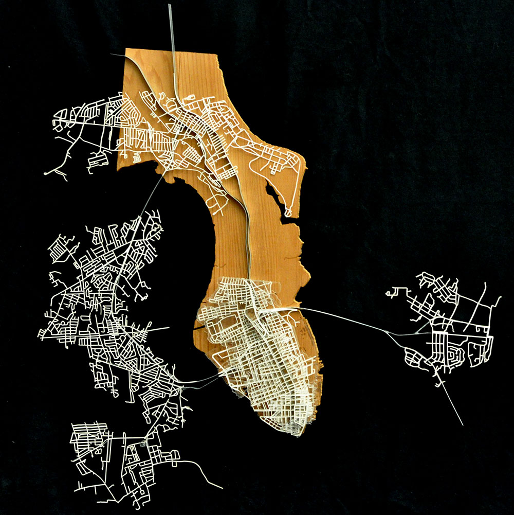
The second section of our studio focused on urban analysis. We worked on several projects culminating in a review the Wednesday before Fall break.
Our focus was on the city of Charleston, SC. We began by diagraming from maps that were provided and found through research. We focused on three separate armatures – landform, passage & texture – and created a final synthetic diagram containing all three armatures and focusing in on something we found interesting through our research. I was amazed at how much infill has been used, reshaping the peninsula of Charleston. My synthetic diagram shows a ~200 year snapshot of the landform change from 1877 to the present.

Then we partnered up and started building models. The first one combined the ideas of our two synthetic diagrams and focused on the city at a 1:1000 scale. Our model was an exploded diagram showing the landform and passage changes from 1670 to the present.


After this we took a trip down to Charleston and focused on an assigned precinct between King St. and the Cooper River. Our bounding street on the north was Broad with Tradd to the south. This model was constructed at the 1:100 scale horizontally and 1:25 vertically.
This series of projects really taught me to look critically at the unique aspects of cities and how they evolve overtime.


